Where it is
Sumba is an island in East Nusa Tenggara, east of Flores and south of the main island chain. Waingapu in East Sumba and Tambolaka in Southwest Sumba are the main air gateways; travel between districts takes time.
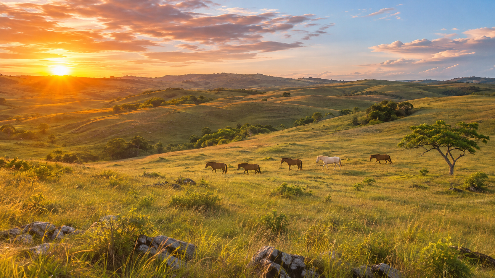
Traditional villages, coastal scenery and the rolling hills of Sumba.
We are still preparing the guides for this destination. Contact RAI for the latest information.
Ask about this destinationRoutes & Adventures Indonesia
A local overview for planning with care. Seasonal patterns are general; check today's forecast before travelling.
Sumba is an island in East Nusa Tenggara, east of Flores and south of the main island chain. Waingapu in East Sumba and Tambolaka in Southwest Sumba are the main air gateways; travel between districts takes time.
Sumba is generally hot and dry, with many areas around 24–33°C. A pronounced dry season usually runs roughly May to October; the rainy season is often November to April, with local variation. Inland hills and coastal areas can feel different. Check local and sea forecasts.
Communities and customs differ between West, Southwest, Central and East Sumba. Farming and livestock, especially horses and cattle, weaving, fishing and tourism are important parts of local life. Try jagung bose, kaparak and se'i; dishes and names vary by district.
Sumba is known for savanna landscapes, megalithic villages, horses, ikat weaving and Marapu traditions. Pasola is a living ritual with community-set timing, not a show on demand. Ask permission before visiting a village, photographing people or sacred places, and buying textiles; follow local hosts and do not enter ceremonies uninvited.
BMKG updates these forecasts. Conditions can differ between islands, villages and open water.
Official information: BMKG