A local overview for planning with care. Seasonal patterns are general; check today's forecast before travelling.
Where it is
Seram is a large island in Maluku Province. Amahai, near Masohi, is a key arrival point from Ambon by ferry; Ora and Sawai on the north coast require a long onward road and boat transfer. Manusela National Park and the coast are far apart, so plan separate days and confirm access.
Climate through the year
Seram is warm and humid, typically around 23–31°C on the coast; the forested interior and mountains are cooler and wetter. Rainfall and sea conditions vary. Check BMKG forecasts for both the ferry route and your exact coastal or inland stop.
People and everyday life
Communities across Seram have distinct languages and customs. Sago, fishing, farming, cloves and other local trade support livelihoods in different areas. Papeda with fish, sago preparations and coastal seafood are common regional foods; dishes vary by community.
What the region is known for
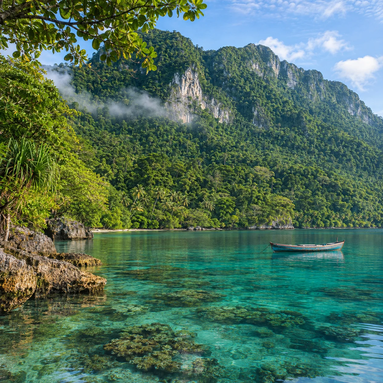
Seram is known for Manusela National Park, Mount Binaiya, rainforest wildlife and the clear waters around Ora and Sawai. Access to protected areas follows park rules and may require permits or guides. Ask permission before entering villages or photographing ceremonies, and leave forest and reef life undisturbed.
Daily forecast
BMKG updates these forecasts. Conditions can differ between islands, villages and open water.
In Maluku oral tradition, Seram is often called Nusa Ina, or Mother Island, and Nunusaku is a symbolic place associated with ancestral origins. These are cultural traditions, not a single verified historical account; versions differ among communities.