A local overview for planning with care. Seasonal patterns are general; check today's forecast before travelling.
Where it is
This guide covers two separate island areas in Maluku: Banda Neira and the Kei Islands around Tual. Banda Neira is in Central Maluku; Tual is on Dullah Island. Reach Banda mainly by ship from Ambon or Tual on scheduled services; confirm connections before booking.
Climate through the year
Both areas are warm and humid, commonly around 24–31°C. Rain, wind and sea conditions vary across the islands and can disrupt crossings. Check BMKG land and marine forecasts for the exact island and travel date.
People and everyday life
Banda livelihoods include nutmeg and mace cultivation, fishing, services and tourism. In the Kei area, fishing, farming, boat transport and tourism support many households. Try Banda nutmeg preserves and fish dishes; Kei foods include enbal, a cassava staple. Recipes vary by island.
What the region is known for
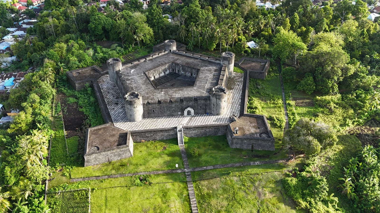
Banda is known for nutmeg, forts, reefs and layered colonial and Indonesian history. The Kei Islands are known for long white-sand beaches, reefs and island scenery. Local customs differ between communities; ask before entering homes, photographing people or ceremonies, and follow local conservation rules.
Daily forecast
BMKG updates these forecasts. Conditions can differ between islands, villages and open water.
Banda’s documented story is tied to the global nutmeg trade, colonial rule and Indonesian independence. In the Kei Islands, Larvul Ngabal is a living customary law. Ask local hosts about community-specific oral stories; no single account represents all Maluku.